Moore County Appraisal District Texas
Looking for accurate and up-to-date property records in Moore County, Texas? Whether you are buying a home in Dumas, checking land near Sunray or Cactus, researching a farm in Hartley, or verifying taxes before closing, the official Moore Central Appraisal District (MCAD) gives you everything you need.
You can view owner names, 2026 appraised values, land and improvement breakdowns, exemptions, sales history, and flood risk information — all free and without any login or account.
This detailed, practical guide shows you exactly how to use the real MCAD website with clear step-by-step instructions and real local examples.
Homestead Exemption Savings Calculator
Property Tax Calculator
Taxable Value After Exemption
Monthly Property Tax
Total Annual Cost (Tax + Insurance)
Property Investment ROI
It includes extra resources, contact numbers, office addresses, and helpful insights from people who live and work in Moore County every day. Follow these steps and you will have the exact information you need in just a few minutes.
What This Guide Helps You Do Right Now
With this page you can:
- Quickly locate any property by address, owner name, or account number
- View the current 2026 appraised value and compare it with last year’s value
- Check whether the homestead exemption or agricultural valuation is applied correctly
- Download or print a clean property card to share with your realtor, lender, title company, or attorney
- Use the interactive GIS map to compare your property with nearby homes or farms and check flood zones
- Prepare strong supporting documents before filing a tax protest by May 15
- Understand flood risks near the Canadian River, Rita Blanca Creek, and other local waterways
- Find important contact numbers, office addresses, and additional county resources in one place
Quick Links to the Official Moore County Tools
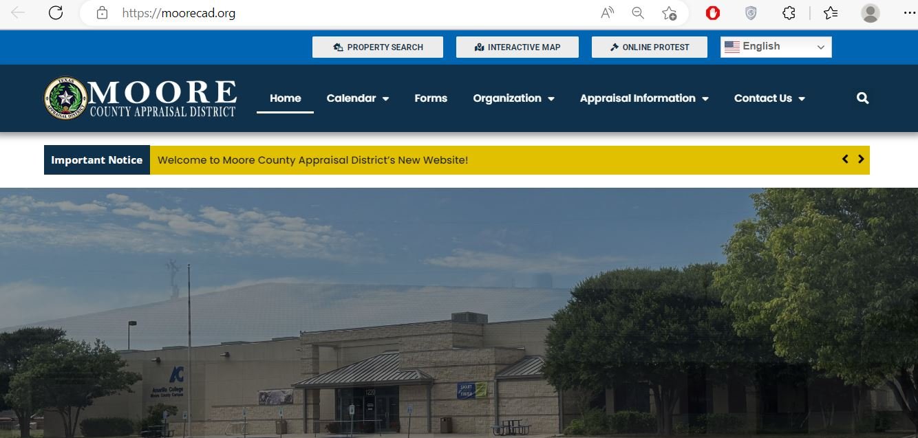
Official Moore Central Appraisal District (MCAD) website: https://www.moorecad.org/
Property Search Portal (recommended starting point): https://esearch.moorecad.org/
Interactive GIS Map & Parcel Viewer: https://moore.trueautomation.com/mapSearch/?cid=110
Tax Payment & Tax Office: https://www.moorecountytx.com/page/tax-assessor-collector
Main County Website for additional records and permits: https://www.moorecountytx.com/
How to Search by Address – The Way Most People in Dumas Do It
- Open the property search portal: https://esearch.moorecad.org/
- Select the Address tab at the top.
- Enter the house number followed by the street name. Example: 1234 S Dumas Avenue Dumas. Do not add the city name.
- Click the blue Search button.
- Click on the correct property from the results list.
- The full property record card will open. Check the owner name and mailing address at the top.
- Scroll down to view the 2026 appraised value, land value, improvement value, and any exemptions or special valuations.
- Use the Print or PDF button at the top right to save a clean copy for your records or to share with others.
How to Search by Owner Name – Useful When You Only Have the Seller’s Name
- Select the Owner Name tab.
- Type the last name first, then the first name. Example: Smith John.
- If you get too many results, add the city name in the advanced search or narrow by zip code.
- Click Search and choose the matching parcel.
- Verify the mailing address matches where tax bills are sent.
- Scroll to the bottom to review sales history, previous owners, and deed information that can be helpful for title checks or family estate planning.
How to Search by Property ID / Account Number – Fastest When You Have the Number
- Select the Account Number tab.
- Copy and paste the full account number from your tax bill (example: 123456789012).
- Click Search. The system returns the exact property instantly.
- Review all details including value history, exemptions, agricultural valuation (if any), and attached documents on one screen.
How to Use the Moore County Interactive GIS Map – My Favorite Tool for Buyers and Farmers
- Visit the GIS map: https://moore.trueautomation.com/mapSearch/?cid=110
- Use your mouse or fingers to zoom into Dumas, Sunray, Cactus, Hartley, or any rural area.
- Click directly on any colored parcel on the map.
- A small pop-up shows basic owner and value information with a link to the full record.
- Click the link to open the complete property card.
- Switch the view to “Aerial” to see actual rooftops, barns, pivot irrigation systems, or fences.
- Turn on the flood zone layer to check risk near the Canadian River or Rita Blanca Creek.
How to Read the Full Property Card – Every Section Explained
When the property card opens, pay attention to these important sections:
- Owner Information: Current owner name and mailing address. Make sure it is up to date.
- Appraised Value: The large green number is the 2026 total appraised value used for tax calculation.
- Land & Improvement Breakdown: Shows how much is land versus buildings, barns, or other improvements.
- Exemptions & Special Valuations: Look for “HS” (homestead) or “Ag” (agricultural valuation). These can significantly lower your taxes.
- Sales History: Lists recent sales and deed dates — very useful for buyers and estate matters.
- Map & Photos: Aerial view and any uploaded property photos or sketches.
What You Need Before You Start
- A smartphone, tablet, or computer with a good internet connection
- The street address, owner name, or account number from a recent tax bill
- 10–15 quiet minutes to explore the records thoroughly
- A notebook or your phone to write down important numbers and notes
Common Problems and How Locals Fix Them
Too many search results? Add the city name or search only the street name first, then narrow down.
Property not found? Try different spellings of the last name or check for abbreviations like “Ave” vs “Avenue”.
Value seems too high? Open the GIS map and pull three similar nearby properties (same size and use) for comparison.
Need to pay taxes or get a receipt? Go directly to the county tax office website linked above.
Flood zone or irrigation questions? Always check the GIS map layers before making an offer on rural land or farmland.
Local Tips and Tricks from Moore County Residents
- Search early in the morning before 9 am — the website loads noticeably faster during peak evening hours.
- Properties near the Canadian River or Rita Blanca Creek can have changing flood risks. Always turn on the flood layer in the GIS map before buying.
- Print or save the property card every January so you can track value changes over time and prepare for protests.
- If the “HS” homestead code is missing and you live on the property full-time, contact the CAD office right away. Many families in Dumas and Sunray have saved hundreds of dollars by fixing this.
- Farmers and ranchers should check for the “Ag” valuation code. If your land qualifies but does not show it, call the CAD office — this can make a big difference in taxes.
- Local real estate agents in Dumas often use the “Comparable Sales” section. Ask your agent to walk you through it.
- Buyers with school-age children check the school district boundaries on the GIS map before making an offer.
- Keep a digital folder with each year’s property card named by address and year. It makes future protests or sales much smoother.
Simple Tax Protest Checklist – What Many Locals Do
- Print your current property card from the CAD site.
- Use the GIS map to print details of three similar nearby properties (same size, use, and location).
- Take clear photos of any needed repairs, drainage issues, or damage on your property.
- Gather any supporting documents such as recent appraisals, contractor estimates, or soil tests for agricultural land.
- File your protest online or in person before the May 15 deadline.
Important Notes
This guide is provided by County-CAD.us. We are not affiliated with the Moore Central Appraisal District or any government office. We only provide direct links to the official public websites so you can access accurate information quickly.
Property values and records can change. Always verify the latest information directly on the official Moore CAD website.
Moore County CAD Office Address & Contact:
701 S Bliss Avenue
Dumas, TX 79029
Phone: (806) 935-6051
Office Hours: Monday to Friday, 8:00 AM – 5:00 PM
Google Maps Location of Moore County CAD Office
FAQs About Moore County CAD Property Search
How do I search property in Moore County Texas?
Go to https://esearch.moorecad.org/ and use the Address, Owner Name, or Account Number tab. The process usually takes less than a minute.
Is the Moore County CAD search really free?
Yes – 100% free forever. No signup, no login, and no payment is ever required for basic property records.
Where do I actually pay my property taxes?
Use the Moore County Tax Office at https://www.moorecountytx.com/page/tax-assessor-collector. The CAD only provides appraisal values.
How do I know if I have the homestead exemption?
Look for the “HS” code on the right side of the property card. If it is missing and you live there full time, contact the CAD office to apply before April 30.
Does the interactive GIS map show flood zones?
Yes. Turn on the flood zone layer in the map viewer. This is especially important for properties near the Canadian River or Rita Blanca Creek.
How current is the data on the Moore County CAD website?
Appraised values are updated once per year. The property card always shows the exact appraisal date so you know how recent the information is.
Can I use the property search on my phone?
Yes. The site works well on smartphones. You can pinch and zoom on values, maps, and aerial photos.
How do I prepare for a tax protest in Moore County?
Print your current card, gather three comparable properties from the GIS map, take photos of any issues, and file before May 15.
Does the CAD show previous owners and sales history?
Yes. Scroll to the bottom of any property card to see sales history and deed information. This is very helpful for buyers and estate matters.
What should I do if I cannot find my property?
Try different spellings of the owner name or search only the street name first. Many locals in Dumas and Sunray resolve this with one small adjustment.