
Camden County CAD property records, assessor search, GIS maps and tax payment help
This guide helps Camden County property owners, Lake of the Ozarks buyers, real estate agents and investors search official property assessment records, confirm owner and parcel details, use the GIS map, understand assessed value, and know which office handles taxes, deeds, appeals and personal property filing.
Camden County, Missouri does not use a Texas-style CAD system, but many users still search “Camden County CAD.” The correct official workflow is simple: use the Camden County Assessor for property assessment records, the Collector for tax bills and payments, GIS for parcel maps, and the Recorder for deeds and recorded documents.
Quick answer: where to search Camden County property records
Start with the official Camden County Assessor search when you need owner name, mailing address, account information, assessed value, personal property filing information or a basic property record. The Assessor’s office is the right source for assessment data and value questions.
Use Camden County GIS when you need parcel map context, floodplain layers, lake-area location checks, school/fire/tax district map layers or nearby parcel comparison. Use the Collector website when your goal is tax bill payment, tax receipt printing or balance verification.
Quick navigation
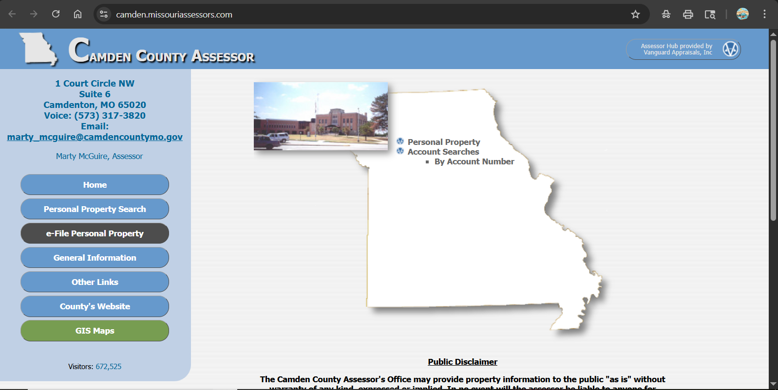
Camden County CAD screenshot used in this guide
The old post already had a Camden County image, so it is reused here naturally as a visual screenshot section. Use it only for orientation. For current owner, value, GIS, taxes, appeal or payment status, use the live official links in this guide.
How to search Camden County property records step by step
The Camden County Assessor hub is the best first stop for assessment records. Keep the search simple, especially for lake-area homes, rural roads, subdivision names and properties around Camdenton, Osage Beach, Linn Creek, Sunrise Beach, Climax Springs and Macks Creek.
How to use Camden County GIS for parcel, floodplain and lake-area checks
The GIS map is especially useful in Camden County because many users are checking lake-area parcels, vacation homes, docks, steep lots, private roads, floodplain areas and subdivision boundaries. It helps you understand the property location, but it is not a legal survey.
- Parcel shape and location
- Aerial view context
- Nearby property comparison
- Floodplain layer review
- Lake mile marker / district map context
- School, fire, voting or tax district reference
- Boundary-line assumptions
- Dock or shoreline assumptions
- Private road/access issues
- Survey/legal descriptions
- Floodplain interpretation without official review
- Old screenshots or cached maps
- Distance to lake access
- Road frontage and driveway access
- Steep slope or irregular parcel shape
- Floodplain layer near water
- Nearby comparable parcels
- Tax district and school district layers
What you can check in a Camden County property record
A property record is useful when you know what each section means. It can support a value check, purchase review or appeal preparation, but it should not replace a tax receipt, deed search or professional survey.
| Record area | What it helps verify | Practical user tip |
|---|---|---|
| Owner name | Current owner shown in assessment records | Recent sales may not appear immediately. Confirm legal ownership through recorded deeds if needed. |
| Mailing address | Where official assessment or tax-related mail may be sent | New owners should confirm mailing data after closing so important notices are not missed. |
| Parcel/account information | Unique property reference for search and office questions | Save this before calling the Assessor, Collector or Recorder. |
| Land details | Acreage, land classification and location context | Very important for lake lots, rural acreage, vacant land and subdivided property. |
| Improvement details | Buildings, structures, size and property characteristics | Check square footage, basement, garage, dock-related structures, condition and building count. |
| Assessed value | Value used for property tax assessment purposes | If the value looks wrong, compare similar properties and collect evidence before an appeal. |
| Sales history | Past transaction context where available | Useful for buyers, but not a full title report. Use Recorder/title review for legal ownership issues. |
Camden County Assessor vs Collector vs Recorder vs GIS
Most user confusion comes from contacting the wrong office. Use the table below before calling or clicking.
| User needs | Correct office or tool | What to do there |
|---|---|---|
| Search owner, parcel, value or assessment record | Camden County Assessor | Use the Assessor search hub and call 573-317-3820 for assessment questions. |
| View parcel map, lake-area layers or floodplain context | Camden County GIS | Use the GIS viewer for parcel map context and layer review. |
| Pay property taxes or print tax receipt | Camden County Collector | Use the Collector site for tax bills, balances, payments and receipts. |
| Find deeds, liens, mortgages or recorded documents | Camden County Recorder | Use the Recorder for recorded document searches, copies and recording guidance. |
| Appeal assessed value | Assessor / Board of Equalization / Missouri State Tax Commission path | Start with evidence and local assessment review, then follow official appeal instructions if needed. |
Personal property filing in Camden County Missouri
Camden County’s Assessor hub highlights personal property assessment filing. This is important for Missouri taxpayers because personal property is handled differently from real estate assessment records.
- Vehicles
- Boats
- Trailers
- Motorcycles
- Business personal property
- Other taxable personal property under Missouri rules
- Look for your ePIN or filing information on your notice
- Confirm the current filing window
- Do not ignore mailed assessment forms
- Call the Assessor if you need to amend a submitted form
- Keep proof of filing or mailing
How to prepare for a Camden County property assessment appeal
A strong appeal is not simply “my taxes are high.” The useful argument is that the assessment value or property record is wrong. Focus on evidence, property facts and fair comparisons.
Local insider tips for Camden County and Lake of the Ozarks properties
Camden County has unique property-search issues because of Lake of the Ozarks, rural parcels, vacation homes, docks, private roads and floodplain concerns. Generic property advice often misses these local details.
- Use GIS to check parcel shape and lake proximity
- Do not assume dock rights from a map view
- Check floodplain layers near water
- Confirm legal access through deed/title review
- Compare similar lake frontage, not only nearby homes
- Confirm taxing district and city/county context
- Review land and improvement values separately
- Check older records after remodels or additions
- Use similar subdivision comparables
- Save annual property record PDFs
- Check acreage and usable land carefully
- Review road access and parcel shape
- Do not rely only on aerial image
- Confirm improvements and outbuildings
- Use Recorder/title review before buying
Common Camden County property-search mistakes
Most mistakes happen because users confuse the Assessor with the Collector, treat GIS as a legal survey, or rely on a third-party property site instead of official county sources.
| Mistake | Why it causes trouble | Better action |
|---|---|---|
| Calling the county’s general number for assessment details | You may not reach the Assessor’s property-record staff directly. | Use the Assessor voice number 573-317-3820 for assessment questions. |
| Using the Assessor site as tax-payment proof | Assessment records are not tax receipts. | Use the Collector site for tax bills, payments and receipts. |
| Assuming GIS boundaries are legal survey lines | GIS is for mapping and reference, not final legal boundary proof. | Use survey, deed and title review for legal boundary decisions. |
| Ignoring floodplain layers near the lake | Floodplain or water-related risk can affect buying, insurance and improvement decisions. | Check GIS/floodplain context and verify through official flood resources if needed. |
| Appealing without property-specific proof | An appeal needs evidence, not just opinion. | Prepare comparable sales, photos, repair estimates, appraisal documents and record-error proof. |
Documents and details to keep ready
Before calling, appealing, paying or buying, collect the right information. It saves time and helps the office answer correctly.
Related county property-search guides
These internal guides may help if you are comparing different county property-search systems or checking how Missouri, Oklahoma, Tennessee and Pennsylvania pages differ from generic CAD wording.
Canadian County CAD property search guide explains an Oklahoma property-search workflow and official county record checks.
Carter County CAD property search guide shows how Tennessee assessment records differ from Missouri and Texas-style CAD wording.
Centre County CAD property search guide is useful for comparing Pennsylvania assessment-office terminology.
Camden County property office contact details
| Office | Official details | Use this for |
|---|---|---|
| Assessor | 1 Court Circle NW, Suite 6, Camdenton, MO 65020 · 573-317-3820 | Assessment records, owner/value/property characteristics, personal property filing and assessment questions. |
| Collector | Official tax portal: collector.camdenmo.org | Tax bills, payment status, receipts, penalties and Collector-related property tax questions. |
| GIS Mapping | Camden County GIS / Integrity map viewer | Parcel maps, floodplain layer, district maps, aerial view and geographic context. |
| Recorder | Camden County Recorder department | Recorded deeds, liens, releases, plats, recording questions and document-copy guidance. |
Camden County Assessor office map
The Camden County Assessor’s office is located at 1 Court Circle NW, Suite 6, Camdenton, Missouri 65020. Use the map for travel planning, but call before visiting if your question is deadline-sensitive or requires specific documents.
Official Camden County property resources
Use these official resources for final confirmation before paying taxes, filing personal property, appealing an assessment, relying on GIS layers or searching recorded documents.
Camden County Assessor official search hub Camden County Missouri official website Camden County GIS Mapping official page Camden County GIS parcel viewer Camden County Collector tax portal Camden County Recorder official page Missouri State Tax Commission appeal informationCamden County CAD property search FAQs
What is the official Camden County CAD property search?
Camden County, Missouri does not use a Texas-style CAD name. The official property assessment search is through the Camden County Assessor hub at camden.missouriassessors.com.
How do I search Camden County Missouri property records by address?
Open the official Camden County Assessor search hub and search by address, owner name or parcel/account details. If the full address fails, try the house number and main road name only.
What is the Camden County Assessor phone number?
The Camden County Assessor hub lists the Assessor office voice number as 573-317-3820. Use this for assessment records, personal property filing and value questions.
Where is the Camden County Assessor office located?
The Camden County Assessor office is located at 1 Court Circle NW, Suite 6, Camdenton, MO 65020.
Does the Camden County Assessor collect property taxes?
No. The Assessor handles assessment records and property value data. Tax bills, payments and receipts are handled through the Camden County Collector.
Where do I pay Camden County property taxes online?
Use the official Camden County Collector tax portal at collector.camdenmo.org for tax bills, balances, payments and receipts.
Does Camden County GIS show floodplain information?
Camden County’s GIS Mapping page references current effective floodplain information in the GIS layers menu. Use it for screening, then verify official floodplain or insurance questions through the correct authority.
How do I appeal a Camden County property assessment?
Start by reviewing your Assessor record, checking for property-detail errors and collecting comparable sales, photos, repair estimates or appraisal evidence. Contact the Assessor first, then follow local Board of Equalization and Missouri State Tax Commission guidance if needed.
Where do I find Camden County deeds and recorded documents?
Use the Camden County Recorder for recorded deeds, liens, releases, plats and recording questions. An Assessor record is not a full legal title search.
Is Camden County GIS a legal survey?
No. GIS is a map and reference tool. For legal boundaries, easements, lake access, dock rights or title questions, use a professional survey, recorded documents and title review.
Last editorial check: June 2026. Official details, links, values, tax balances, GIS layers and office procedures can change without notice; verify directly with the relevant Camden County or Missouri state office before paying, appealing, recording or buying.
Estimate Taxes, Exemptions, Escrow, Protest Savings and Next Steps
This sitewide tool helps homeowners, buyers, sellers and investors understand property tax numbers before they check the official county appraisal district or tax office. It runs in your browser, does not collect personal data and gives practical next steps after each calculation.
What are you trying to do today?
Choose your main goal. The tool will guide you to the right calculation or next step.
Use Tax, Exemption and Protest tabs to understand your appraisal notice and possible savings.
Use Buyer Budget and Monthly Escrow before relying only on a mortgage payment estimate.
Property Tax Estimate Calculator
Estimate annual tax using property value, assessment ratio, exemptions and local tax rate.
Homestead and Exemption Savings
Estimate how much a homestead, senior, disabled, veteran or local exemption may reduce annual tax.
Monthly Escrow / Ownership Cost
Estimate monthly property tax, insurance, HOA and reserve cushion. Useful for buyers and homeowners comparing affordability.
Property Tax Protest Savings
Estimate possible savings if your appraised value is reduced after a protest, evidence review or correction.
Appraised Value Growth / Cap Impact
Estimate how a value increase or appraisal cap may affect taxable value. Rules vary by state, county and exemption status.
Home Buyer Monthly Budget Estimate
Estimate a more realistic monthly ownership cost by adding mortgage, property tax, insurance and HOA.
Find Official County CAD and Tax Resources
Enter county and state to create safe search links. This avoids guessing official URLs and helps users find the correct county appraisal district, property search, tax payment and exemption pages.
Why this tool helps your site
It gives visitors an interactive reason to stay on the page, calculate their own numbers and move from general reading to practical action.
Best placement
- Below county CAD articles
- Before FAQ section on long posts
- Inside sidebar or after first major section on desktop
Estimate disclaimer
Values are educational estimates. Visitors should confirm final values, exemptions, tax rates, payment status and deadlines with official county resources.